Things to Do in Idyllwild, California: Hiking, Climbing and More
Updated 25 October 2026. Idyllwild is a high-elevation mountain village in the San Jacinto Mountains, so the best things to do depend on weather, road conditions, trail access, permits, parking and your experience level. The town works for a slow weekend of forest walks, climbing, galleries and picnics, but it is not a place to treat a summer or winter itinerary as permanent.
This is a source-led planning guide, not a personal trip report or a permanent ranking. Trail distances, fees, fire rules, parking, events, opening hours and closures can change.
What you’ll find in this guide: hiking and trails, climbing and bouldering, Lake Fulmor, the Nature Center, arts and village stops, camping, seasonal ideas, roads and permits, food planning, and a pre-trip checklist.
Best Idyllwild activities at a glance
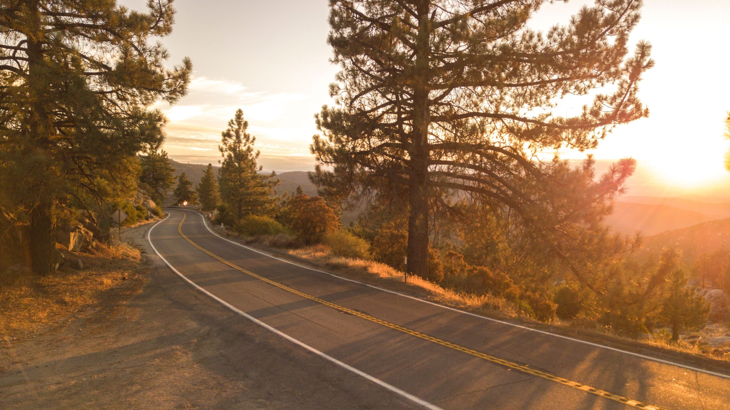
Photo: Mark Munsee / Pexels.
Hiking in and around Idyllwild
Hiking is the main reason many people visit Idyllwild, but the area includes routes with very different demands. Elevation, exposed slopes, snow, ice, heat and dead-tree hazards can change a short walk into a serious outing. Start with a route that matches your footwear, navigation skills, fitness and weather window.
The Forest Service’s current pages are the best place to check alerts, permits, passes and conditions. Download or screenshot the route details before leaving service, tell someone your plan, carry water and do not assume that a busy trail is safe or open.
Ernie Maxwell Scenic Trail
The Forest Service describes the Ernie Maxwell Scenic Trail as an easy, scenic 2.6-mile hike beginning around 6,400 feet and descending about 700 feet from Humber Park, with seasonal streams, trees and views toward Suicide and Lily Rocks. It is a sensible choice for a gentler forest outing, but “easy” still depends on snow, ice, mud and your return climb.
Check the current Forest Service trail page and Humber Park parking information before setting out. Permit and boundary guidance can differ by route, so ask the ranger station if you are unsure whether your planned section enters wilderness.
Check Ernie Maxwell details Check Humber Park parking
Devil’s Slide Trail
The Forest Service describes Devil’s Slide as a 2.5-mile moderate trail from Humber Park to Saddle Junction, with about 1,700 feet of elevation gain. It is a more demanding choice than Ernie Maxwell and a gateway to longer San Jacinto Wilderness routes.
Day-use permits are required for wilderness trails, and the Forest Service notes that Devil’s Slide permits can be limited on weekends during the summer season. The route can be dangerous in snow and ice. Carry traction equipment only if you know how to use it, and choose a lower-risk alternative if conditions exceed your experience.
Check Devil’s Slide details Check wilderness permits
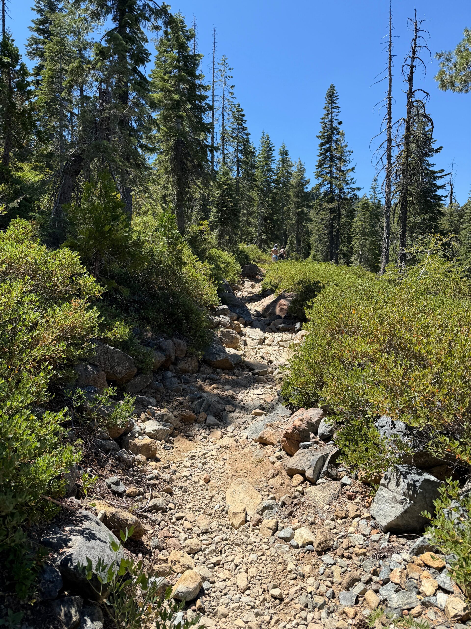
Photo: Juan Pablo Serrano Arenas / Pexels. Illustrative trail image.
Climbing and bouldering
Idyllwild is associated with the granite formations of Tahquitz Rock and Suicide Rock, which attract climbers from Southern California and beyond. Treat this as a specialist activity, not a casual add-on to a sightseeing day. Routes, access, anchors, weather and rock conditions require current local knowledge and appropriate equipment.
Beginners should use a qualified guide or climbing school, confirm access rules and avoid climbing after rain or during dangerous weather. Visitors who only want to see the landscape can enjoy town viewpoints or a managed park without entering a climbing route.
For a low-commitment climbing day
- Check current access and any seasonal restrictions.
- Use a guide if you are new to outdoor climbing.
- Carry a helmet and the equipment appropriate for the route.
- Never assume a social-media photo represents current rock or weather conditions.
- Keep a non-climbing plan in case the rock is wet, icy or closed.
Lake Fulmor
Lake Fulmor is about 10 miles north of Idyllwild off Highway 243. The Forest Service describes it as a day-use area with a trail around the lake, picnic tables, toilets and a fully accessible pier. It is a good low-key stop for wildlife watching, a picnic or a short leg stretch rather than a substitute for a long alpine hike.
The Forest Service listing is the place to confirm the current day-use fee, pass acceptance and site conditions before driving out. Fishing also requires attention to current California fishing rules and any local planting or license information.
Lake Fulmor planning notes
- Confirm Highway 243 and parking conditions.
- Bring layers; mountain weather can change quickly.
- Pack out food waste and keep wildlife wild.
- Do not assume the lake is suitable for swimming.
- Use the official site for current fee and facility information.
Idyllwild Nature Center
Riverside County describes Idyllwild Nature Center as about one mile northwest of town on Highway 243, with more than five miles of hiking trails, picnic space, gardens, bathrooms, indoor and outdoor activities and a museum with local ecology and Cahuilla cultural displays.
This is a useful option for families, visitors who want context before hiking, and days when a full wilderness route is not realistic. The Nature Center also lists seasonal programmes and guided or educational activities. Check opening days, admission, programme dates and any construction or weather notices before arriving.
Why it works for a mixed group
One person can explore the displays or gardens while another takes a short trail. That makes it easier to build a mountain day without requiring every traveller to climb, hike or camp.
Idyllwild Regional Park
Idyllwild Regional Park sits around the village and offers a shaded day-use area, picnic space, trails, boulders, camping and access to the Nature Center area. Riverside County currently lists 202 acres, five trails and 88 forest campsites, but current construction and fuels-reduction work can cause intermittent trail closures.
The park’s current fire guidance says propane fire pits may be allowed with clearance, while wood and charcoal fires are not allowed. Do not bring a campfire assumption from another campground. Check the park’s current rules, reservation availability, potable water information and closure notices.
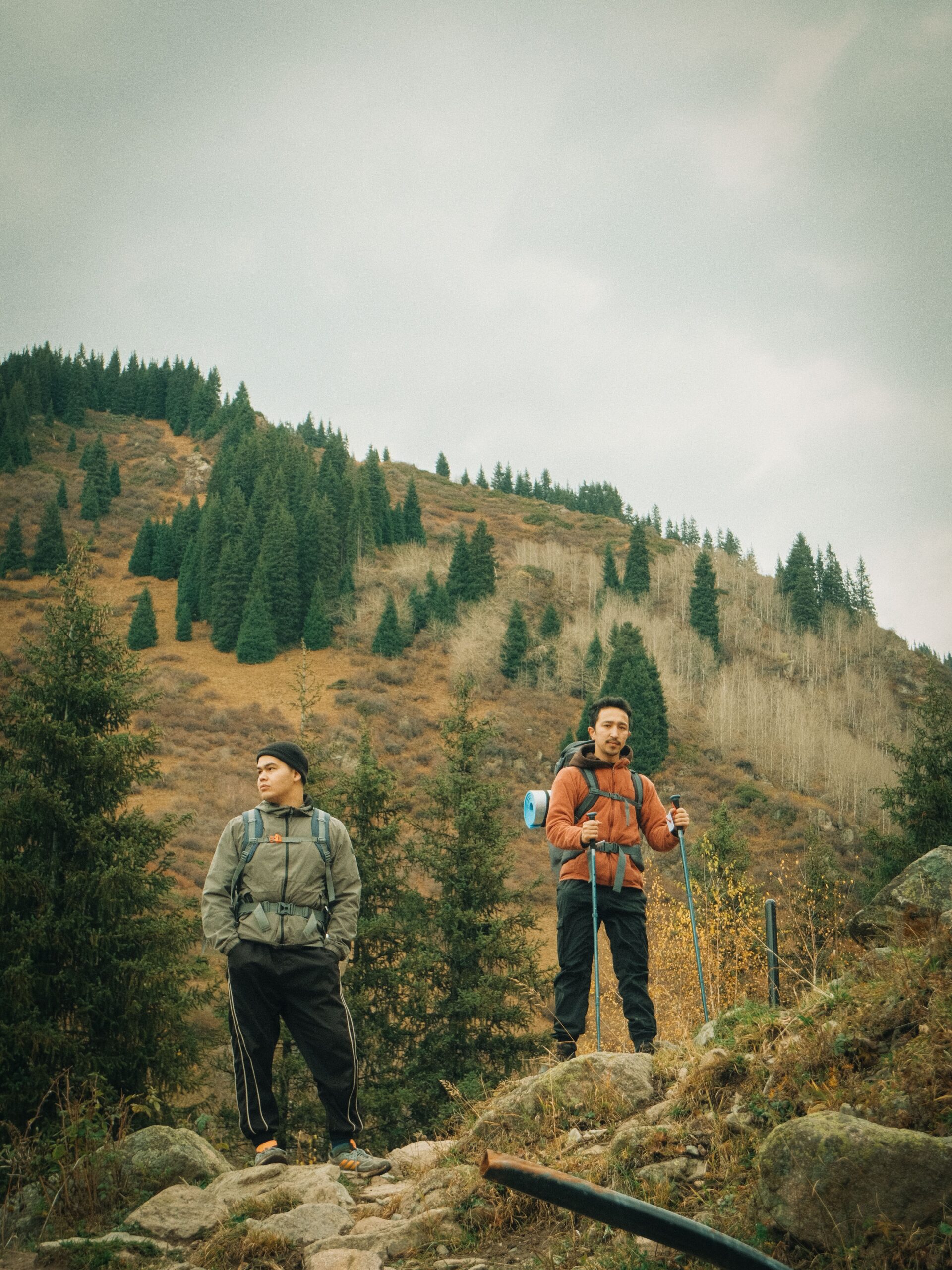
Photo: Yerkebulan Kunat / Pexels. Illustrative hiking image.
Galleries, crafts and Idyllwild Arts
Idyllwild is more than a trailhead. The village has galleries, independent shops, pottery and a long-running arts community. Idyllwild Arts maintains an events calendar with exhibitions, performances, workshops and other public events; the Parks Exhibition Center hosts changing shows during the academic year.
Check the official calendar for dates, admission, gallery hours and whether an event is open to visitors. A rainy-day plan can combine a gallery visit, a café or shop stop, and a short walk if conditions improve.
Low-impact arts itinerary
- Check the Idyllwild Arts calendar before travel.
- Choose one exhibition or event that fits your day.
- Walk the village galleries and shops during posted hours.
- Leave time for a weather backup rather than filling every hour.
Walking the village and local shops
The compact village is useful for browsing local art, gifts, books, outdoor supplies and food. A town walk is a good choice after a hike, for travellers with mixed abilities, or when weather cancels a longer route.
Keep expectations realistic: seasonal businesses may close on different days, and some shops have short hours. Use current business pages or call before making a special trip. For vegan and vegetarian travellers, carry a snack and check menus rather than assuming a small mountain town will have a full plant-based selection.
Camping and overnight stays
Camping ranges from managed regional-park campsites to wilderness trips requiring permits and more experience. Decide whether you need toilets, showers, potable water, a fire ring, a vehicle-accessible site or a true backcountry experience.
For federal San Jacinto Wilderness trips, the Forest Service says a free wilderness permit is required for day hiking and overnight trips. State wilderness rules and camping permits can differ, and the Forest Service honours one day-use permit across the federal and state wilderness areas in the relevant region. Confirm current instructions with the ranger district rather than relying on a screenshot or older blog post.
Campground checklist
- Reservation or walk-in rules.
- Current fire restrictions and permitted stove type.
- Water, toilets and food-storage arrangements.
- Quiet hours, pets and group-size limits.
- Road access after rain, snow or fire activity.
- Leave No Trace and wildlife-safe food storage.
What to do by season
A practical Idyllwild weekend
Day one: town and an easy nature stop
Arrive with the road and weather checked. Walk the village, visit a gallery or Nature Center, then choose Lake Fulmor or an easier trail if the conditions are suitable. Reserve dinner or identify a grocery backup before the evening.
Day two: choose one main outdoor objective
Pick Ernie Maxwell for a lower-intensity forest day or Devil’s Slide for a more demanding route if you have the permit, pass, weather window and experience. Do not stack a long hike, climbing session and distant attraction into one day.
Rain, snow or closure version
Replace the trail with the Nature Center, Idyllwild Arts exhibitions, galleries, shops and a short local walk only if the road and conditions are safe. Keep the itinerary flexible and leave before darkness if the forecast is deteriorating.
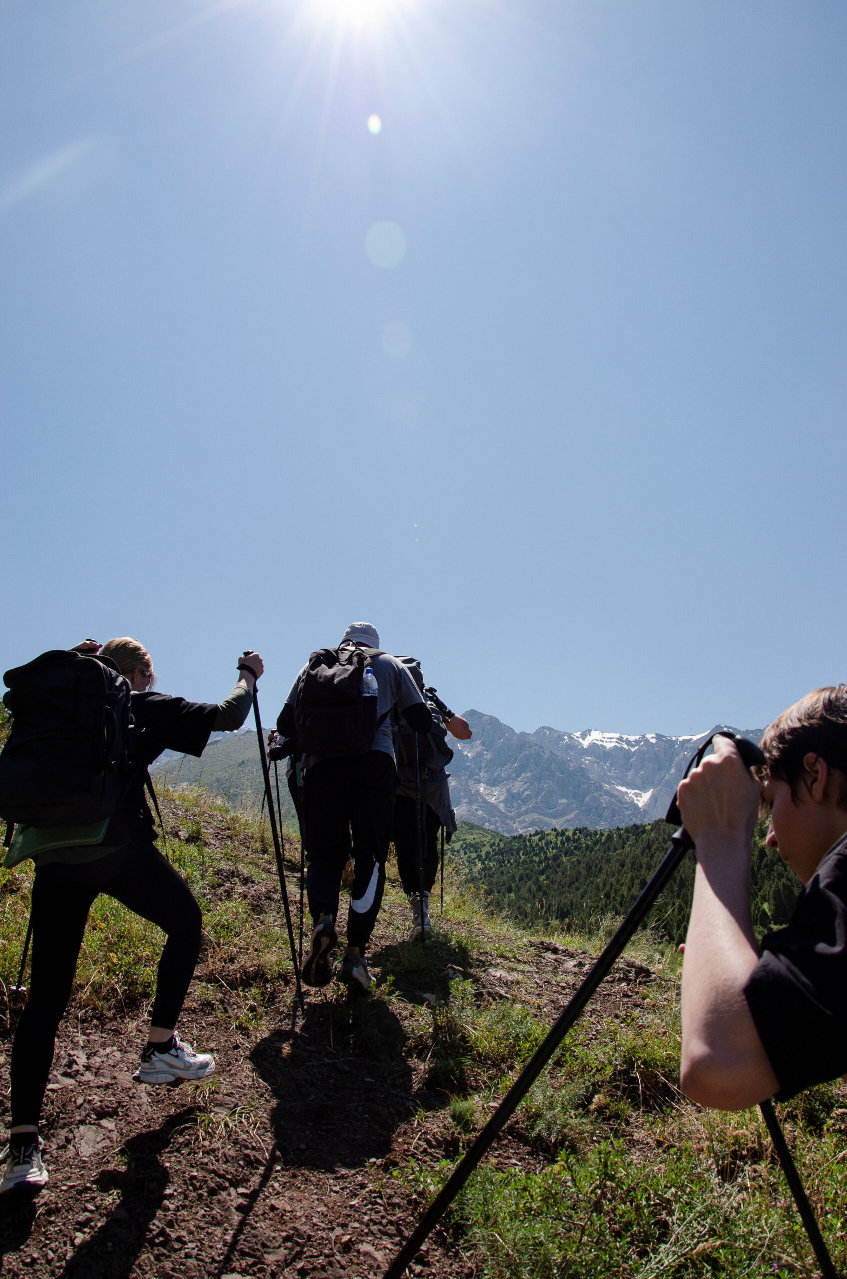
Photo: Radis / Pexels. Illustrative mountain landscape.
Roads, parking, passes and permits
Use the Forest Service conditions and alerts pages, California road information and the relevant park page before departure. Highway 243 and mountain roads can be affected by snow, ice, fire, construction, falling trees and temporary closures.
Check Forest Service alerts Check Caltrans travel
Mountain safety basics
- Carry more water than you expect to need and do not depend on a seasonal stream.
- Use layers, sun protection and a map; high elevation can feel cold even on a sunny day.
- Check for falling-tree alerts and do not linger beneath damaged trees.
- Tell someone your route and expected return time.
- Do not enter a closed trailhead, fire area or road barrier.
- Keep dogs leashed where required and check wilderness dog rules.
- Pack out all food waste and human-waste supplies required for your route.
- Turn around early when weather, daylight or energy changes.
Food and vegan planning
Idyllwild has cafés, restaurants and shops, but a mountain village is not the place to assume a late-night vegan meal will be available. Check current menus, call about substitutions and carry shelf-stable snacks for hiking days. A small grocery or picnic plan protects you from closures, sell-outs and long waits.
For a vegan or vegetarian weekend, pack breakfast basics, trail snacks and one backup dinner. Ask about dairy, egg, honey, fish sauce, meat stock and shared fryers. Keep food secure outdoors and never feed wildlife.
The pre-trip checklist
- Check the forecast, road conditions, Forest Service alerts and fire status.
- Choose a primary activity that matches your fitness and experience.
- Confirm whether the route needs a wilderness permit or Adventure Pass.
- Check the specific trailhead page for parking, toilets and restrictions.
- Save a shorter or indoor backup activity.
- Confirm gallery, Nature Center and Idyllwild Arts hours.
- Pack water, layers, navigation, food and a first-aid kit.
- Leave your route and return time with someone.
Idyllwild FAQs
Is Idyllwild worth visiting without hiking?
Yes. Galleries, shops, the Nature Center, Idyllwild Arts events, picnics and a village walk can make a worthwhile day, especially when weather or mobility limits a longer trail.
What is the easiest hike in Idyllwild?
The Forest Service describes Ernie Maxwell Scenic Trail as an easy, scenic 2.6-mile route, but conditions and your return climb still matter. Check the official trail page and current conditions before setting out.
Do I need a permit to hike in Idyllwild?
San Jacinto Wilderness day hikes and overnight trips require a wilderness permit. Specific trailhead guidance can differ, so verify the route, boundary and date with the Forest Service.
How much does Lake Fulmor cost?
Check the current Forest Service listing for the day-use fee, pass acceptance and facility status before travel.
Can beginners climb in Idyllwild?
Beginners should use a qualified guide or climbing school. Tahquitz and Suicide Rock are serious outdoor climbing areas, not casual sightseeing routes.
Is Idyllwild open in winter?
Often, but winter access can involve snow, ice, chain controls, falling trees and closures. Check current road and Forest Service conditions, carry appropriate equipment and keep a town-based backup.
Where can families go?
Idyllwild Nature Center and Idyllwild Regional Park offer trails, displays, picnic areas and family-friendly options. Confirm current hours, fees and any temporary closure notice.
Final takeaway
Idyllwild rewards flexible planning. Choose one main outdoor objective, verify the permit and pass, check the mountain road and weather, and keep the Nature Center, regional park, galleries or village as backups. That approach makes the weekend safer and more useful than treating a static list of trails, fees or events as guaranteed.
Useful Sources And Verification
Checked 25 October 2026. Trail conditions, road access, permits, passes, fees, fires, events and opening hours can change.
- San Bernardino National Forest: current conditions
- San Bernardino National Forest: alerts
- Humber Park Trailhead: parking, passes and restrictions
- Devil’s Slide Trail: distance, difficulty and permits
- Ernie Maxwell Scenic Trail
- Lake Fulmor Day Use Area
- San Jacinto Wilderness permits and safety
- Riverside County: Idyllwild Nature Center
- Riverside County: Idyllwild Regional Park
- Idyllwild Arts: current events calendar
- Caltrans: current road and travel information
Use official Forest Service, county, arts and road pages for final conditions. Local visitor sites can help with discovery, but they may not reflect a same-day closure or permit change.
Related Guides
Private research draft. Expand, verify, add sources and images, then request publication approval.