
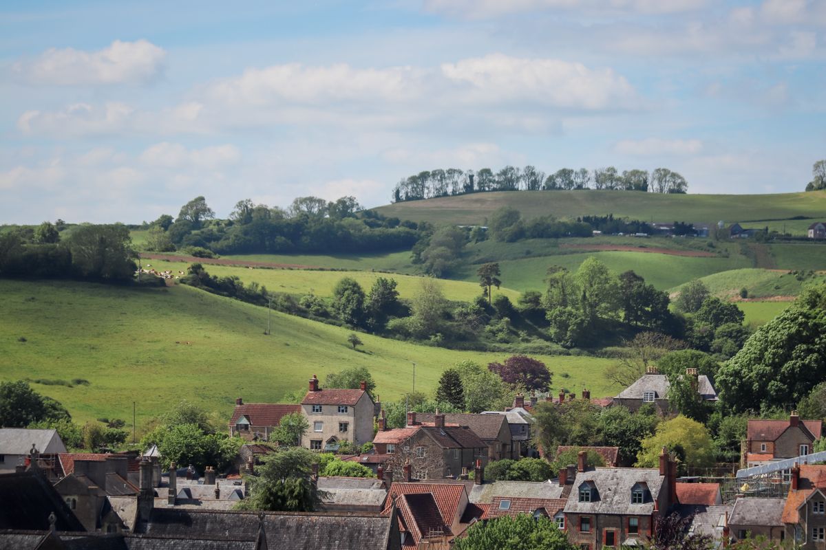
Vegan UK Countryside Travel Guide: Villages, Walks, Food and Slow Weekends
Updated 24 October 2026. Planning note: This is a slow-travel planning guide, not a promise that every village has a vegan café or that every path is accessible in every weather. Treat official route, transport, venue, and forecast pages as the final check. Featured photo: Lebele/Pexels.
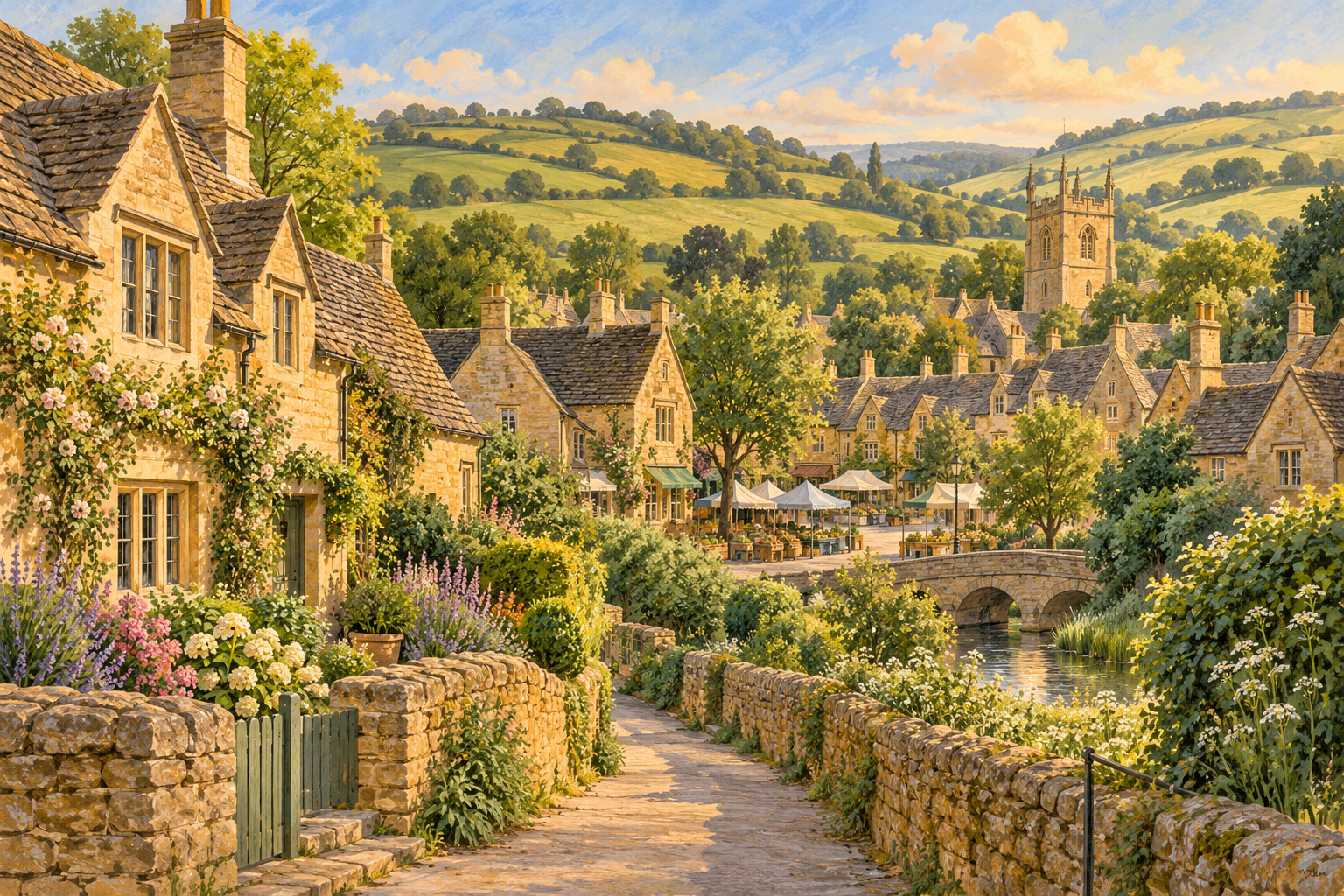
Cotswolds
Best for village streets, short loops, and a market-town base. Use the National Landscape and Cotswold Way pages to choose a realistic section.
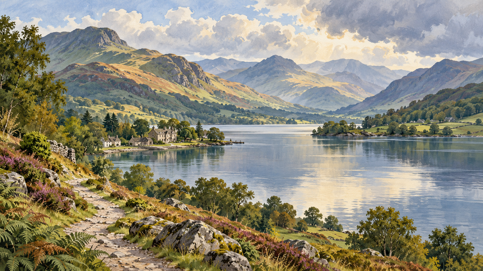
Lake District
Best when different walkers need different levels. Start with the official route grade, ascent, weather, and access information.
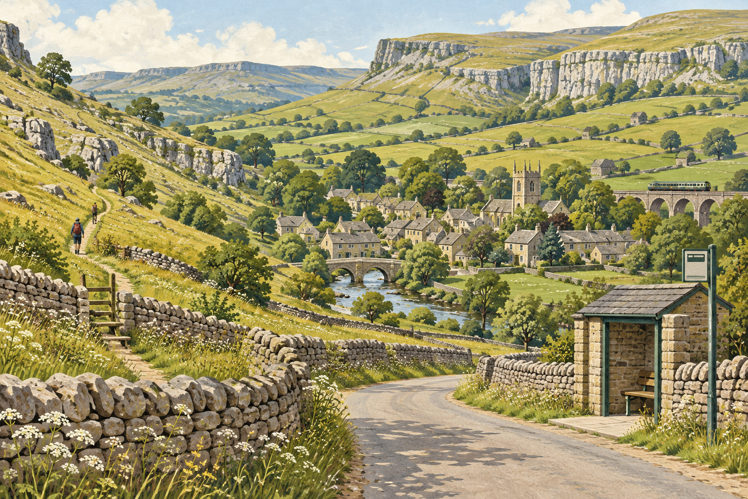
Yorkshire Dales
Best for car-free planning when the bus, train, walking start, and return connection all line up. Keep a shorter backup loop.
How do you choose a UK countryside base?
Choose the region by the kind of weekend you want, not only by its most photographed village. The Cotswolds National Landscape covers nearly 800 square miles and combines towns, villages, walking, cycling, and historic places. The Lake District National Park publishes routes with distance, time, ascent, and grade, including accessible “Miles without Stiles” options. The Yorkshire Dales National Park promotes travel by train, bus, bike, and foot, with walks connected to public-transport stops.
For vegan travellers, the best base is usually the place that gives you a reliable food fallback, a manageable route, and an accommodation setup that fits your needs. A beautiful village with one early-closing tea room may be less practical than a small market town with a supermarket, kitchen, and evening bus.

Which region fits your countryside weekend?
Use this table as a starting point, then open the official route, transport, and venue pages for your exact dates.
| If you want | Consider | Verify before booking |
|---|---|---|
| Honey-stone villages and slower walking | Cotswolds | Village transport, footpath condition, and evening food |
| Lakes, valleys, and different walk grades | Lake District | Weather, ascent, parking or bus, and route turnaround |
| Car-free countryside planning | Yorkshire Dales | Train or bus timetable, last connection, and walk start |
| A compact town-and-coast combination | South West or West Sussex base | Seasonal opening hours, coastal conditions, and food backup |
Cotswolds: villages, footpaths, and a flexible base
The Cotswolds work well when the goal is a gentle weekend of village streets, short walks, historic sites, and unhurried meals. The official Cotswold Way National Trail runs 102 miles (164 km) between Chipping Campden and Bath. You do not need to walk the whole trail: use a small section or a local loop that fits your base and daylight.
For a first visit, choose a market town or village with a shop and more than one food option rather than relying on a single tea room. National Trail information includes sections suitable for people with restricted mobility, but access varies by path, surface, and weather. Check the specific route, not just the region label.
For village-by-village context, use the Cotswold villages vegan travel guide. If you are arriving by train or bus, compare the route with the travel-updates checklist before committing to a timed walk.
Lake District: lakes, valleys, and route choice
The Lake District is a strong fit when your group wants different levels of walking. The National Park’s walking routes page publishes distance, time, ascent, and grade. Its Miles without Stiles collection offers 50 routes designed to widen access, while the Ullswater Way can be walked in sections and combined with a boat trip or bus ride.
Plan around one route rather than trying to see the entire park. A lakeside base can support a gentle morning, while a higher walk needs a separate weather and navigation check. If a group has mixed abilities, split the day: one person can take a longer route while others use a low-level path, museum, boat, or village café.

Yorkshire Dales: public transport and village bases
The Yorkshire Dales’ official planning guidance encourages visitors to explore by train, bus, bike, or foot. Its travel information explains rail access, local bus services, DalesBus connections, and walks that can begin near transport stops. This makes the Dales useful for a car-free trip, but only when the timetable and walking start point work together.
Choose a base near the service you will actually use, then save the last bus or train before starting the walk. Rural services may be infrequent, seasonal, or affected by road conditions. Keep a shorter local loop for the day when a connection, weather window, or energy level changes.
If you want a smaller North Yorkshire day trip, compare this plan with the Rothbury countryside guide and the York vegan city guide to decide whether you need a rural base or a town-based fallback.
How should vegans plan food in the UK countryside?
Food planning should happen before the walking plan is final. The Vegan Society travel guidance recommends planning ahead, checking whether plant milk is available, and carrying practical backup food when options may be limited. In a rural area, “vegan-friendly” may mean a full plant-based menu, one adaptable dish, a supermarket meal, or a self-catering kitchen. These are different levels of reliability.
- Ask whether a dish contains dairy, egg, honey, fish sauce, meat stock, or animal-derived sauces.
- Confirm whether plant milk, vegan breakfast items, and packed lunches are available on your dates.
- Save the opening hours of a supermarket, farm shop, or café near the accommodation.
- Carry a compact backup such as oat bars, suitable nuts, instant oats, or a sealed meal.
- If gluten-free needs matter, use Coeliac UK’s eating-out guidance and ask about cross-contact instead of relying on a vegan label.
Use the vegan packing guide for a broader checklist. For a town-based extension, the York guide shows how a more urban food backup can complement countryside time.
How do you match the walk to the day?
Pick the walk after checking the forecast, transport, daylight, and the group’s actual energy. A scenic route is not automatically a good route for every visitor. The UK Countryside Code advises checking conditions, preparing for hazards, and changing plans when conditions become unsuitable.
| Day shape | Choose | Carry or confirm |
|---|---|---|
| Arrival day | Short village loop or local park | Check-in time, food after arrival, and daylight |
| Clear-weather full day | Published route matching fitness and transport | Forecast, map, water, layers, and turnaround time |
| Mixed-ability day | Accessible or low-level route plus indoor option | Surface, toilets, seating, and transport back |
| Wet or windy day | Museum, market town, café, or short sheltered walk | Opening hours, waterproof layers, and food backup |
How do you build a weather-proof itinerary?
Keep one outdoor plan, one low-level or local plan, and one indoor plan. The Met Office mountain forecast is useful when hills and exposure matter. Check the forecast for the route’s elevation and exposure, not just the nearest town.
Do not treat a weather warning as a challenge to overcome. Turn around when visibility, wind, water levels, or path conditions no longer fit your group. A slower day in a village or market town can still be the best version of a countryside weekend.

What should you ask accommodation before booking?
A countryside stay is easier when the accommodation solves at least one food or transport problem. Ask whether there is a kitchen, fridge, freezer, kettle, or breakfast option that can be adapted. Confirm check-in time, luggage storage, parking, bus access, and the distance to the nearest shop.
- Is there a vegan breakfast, and is it available every day?
- Can the property provide plant milk or store a packed meal?
- Is the kitchen shared, private, or unavailable?
- What is the latest check-in time if the train is delayed?
- Can you reach a shop or café without a car?
- Is the route to the property suitable in rain or after dark?
How should you plan transport?
Use the National Rail Journey Planner for current routes, connections, and ticket information. The Countryside Code also encourages public transport where possible and asks drivers not to block gates, driveways, or emergency access. In rural areas, a short distance on a map can still mean a long wait for the next bus.
Save both the outward and return connections, including the final service. If you are walking between stations, villages, and accommodation, check the surface, road crossings, and weather exposure. For a car trip, confirm parking and never assume an informal verge is an acceptable stopping place.
How can you make a slow weekend feel unhurried?
Choose one base, one main walk, and one flexible food plan. Leave room for a market, garden, bookshop, village church, gallery, or simply a long lunch. Slow travel is not a checklist of every nearby attraction; it is a route with enough margin to respond to weather, queues, tiredness, and changing opening hours.
For a coastal or northern alternative, compare the Hope Cove Devon guide or the Causeway Coast road-trip guide. Use the destination that gives your group the fewest fragile connections. The wider vegan travel planning guide and vegan road-trip guide can help you compare transport and backup decisions.
What should you check before departure?
- Confirm the accommodation address, check-in, kitchen, and nearest food backup.
- Check the official walking route, grade, distance, access notes, and current diversions.
- Check National Rail, bus, parking, and the last return connection.
- Review the Met Office forecast for the route and date.
- Carry vegan snacks and a second meal option.
- Ask restaurants and cafés about ingredients, cross-contact, and opening hours.
- Save offline maps, phone numbers, booking references, and emergency information.
- Leave a flexible block so the plan can change safely.

Frequently asked questions about vegan UK countryside travel
Which UK countryside region is easiest without a car?
There is no single answer for every itinerary, but Yorkshire Dales visitor guidance specifically promotes train, bus, bike, and foot travel, with walks linked to public-transport stops. Check the exact timetable and last connection for your dates.
How do I find vegan food in a small village?
Contact the venue before arrival, check a current menu, and identify a supermarket or self-catering backup. Carry a compact meal or snacks for transfer days and late arrivals. The Vegan Society recommends planning ahead and checking plant-milk availability.
Can I rely on a village café for vegan breakfast?
Not without checking. Breakfast menus and opening hours can be seasonal. Ask about plant milk, vegan spreads, cooked breakfast ingredients, and whether the kitchen can handle your requirements.
What should I do if the weather changes?
Switch to the low-level, local, or indoor plan. The Countryside Code advises checking conditions, carrying suitable equipment, and changing plans when weather or ground conditions become unsafe.
How hard is the Cotswold Way?
The full Cotswold Way is 102 miles (164 km), and the National Trail describes the complete route as a multi-day walk. Most weekend visitors should choose a short section or local loop that matches their base and ability.
Is a vegan label enough for someone with coeliac disease?
No. Vegan and gluten-free are separate questions. Use current Coeliac UK guidance, ask about preparation and cross-contact, and only choose a venue that can answer your specific requirements.
Useful Sources and Verification
Checked 2 October 2026. Regional, route, transport, weather, and food-planning guidance was checked against current official pages. Footpaths, timetables, menus, access conditions, and opening hours can change; verify again before departure.
- Cotswolds National Landscape and Cotswold Way National Trail for regional and walking context.
- Lake District walking routes, Miles without Stiles, and Ullswater Way.
- Yorkshire Dales planning and travel information.
- UK Countryside Code, Met Office mountain forecast, and National Rail Journey Planner.
- Vegan Society travel guidance and Coeliac UK eating-out guidance.
Related Guides
Next step: Choose one base, open the official route and transport pages, confirm one food fallback, and keep a weather-proof plan before you book.